All links open PDF-documents in new windows or tabs
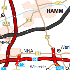
Motorways and federal roads
Version without junctions
Version with junctions
Legend
Legend
(map from 1990, 1985)
Older maps:
2025
*
:
without junctions
with junctions
2020
*
:
without junctions
with junctions
2015
*
:
without junctions
with junctions
2010
*
:
without junctions
with junctions
2005
*
:
without junctions
with junctions
2000
*
:
without junctions
with junctions
1995
*
:
without junctions
with junctions
1992
*
(with the primal junction numbering)
1990
*
1985
*
*
without number of lanes
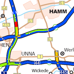
Current and abandoned projects, new construction and widening
Version without junctions
Version with junctions
Legend
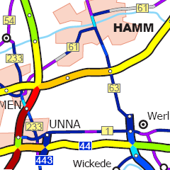
Opening years of the motorways
Map
Legend
Speed limits on motorways
Map
Legend
Data from 2009.
Traffic volume maps
(Source: Traffic countings)
Motor vehicles 2021
Average daily traffic
This count took place during
the coronavirus pandemic.
Compared to 2015,
there were approximately
8% less motor vehicles on the road.
Legend
Older maps:
Motor vehicles 2015
Motor vehicles 2010
Motor vehicles 2005
**
Motor vehicles 2000
**
**
kindly supported by Erik Rohnfeld
Projected network from 1926 (Original plan)
Map